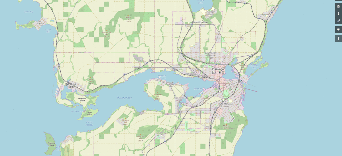
This is one of the hoped-for benefits of my historical mapping approach. I do a screenshot every now and then using the exact same window size and coordinates, and make it into a gif. This gif covers the years 1880-1896. As time passes, it will get longer and more interesting.
↧
Ohunkagan Historical...
↧


